

This article was produced as part of the Local Journalism Initiative.
What do you get when you combine affordable housing and transit density? You get PMTSA.
PMTSA means Protected Major Transit Station Areas and Major Transit Station Areas (MTSAs), which are defined areas within, “about 500 to 800 metres, or roughly a 10-minute walk, of subway, GO and Light Rail Transit (LRT) stations.”
BECOME A GREEN LINE MEMBER TODAY
There are currently 120 areas across Toronto, and the City wants to add one to Mount Dennis.
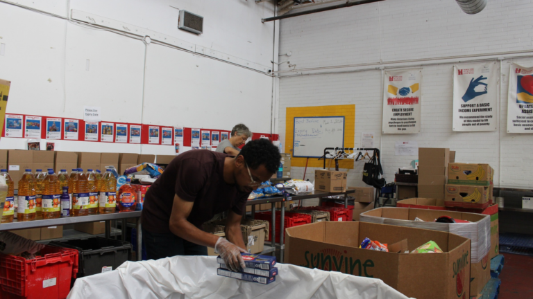
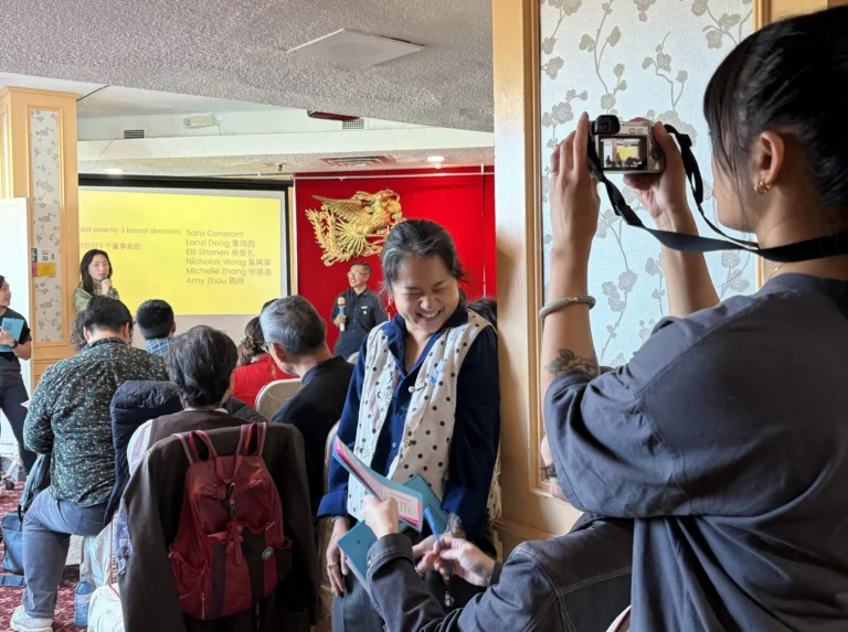
On June 22, community members from the west end neighbourhood gathered at the City-hosted Mount Dennis PMTSA Open House.
Residents were able to ask City of Toronto staff questions about the poster boards filled with information and radius visualizations.
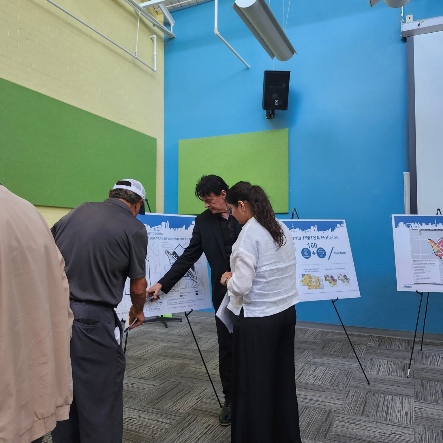
📸: Julia Lawrence/The Green Line.
“People who attended the Open House were interested to know how the PMTSA and the provincial decisions on height and densities would affect building heights and development within the Mount Dennis area,” said Rory McNeil, a senior planner at the City of Toronto’s official plan and legislation strategic initiatives, policy and analysis.
Toronto is updating its zoning bylaws in compliance with the August 2025 Minister of Municipal Affairs and Housing decision, which specifies that Toronto must now adjust to meet provincial regulations.
The change allows developers to increase building density and additional stories in accordance with the City’s zoning for MTSAs. This depends on the building’s radius to station areas.
But what does this have to do with affordable housing in Mount Dennis?
What turning into a pmtsa means for mount dennis
Inclusionary Zoning, a policy tool under the Planning Act, can only be used by municipalities to require affordable housing near transit if it’s within PMTSAs.
If Mount Dennis is under a PMTSA, any developer applications after July 1, 2027, will have to provide 5% of units built (or 5% of the floor area) as affordable housing for 25 years.
So, the PMTSA will allow permits for certain building heights/storeys and ensure a percentage of those buildings are secured as affordable (based on local incomes, not market rents).
Some residents said that the Ontario government-set date of 2027 would exclude a lot of already active developments.
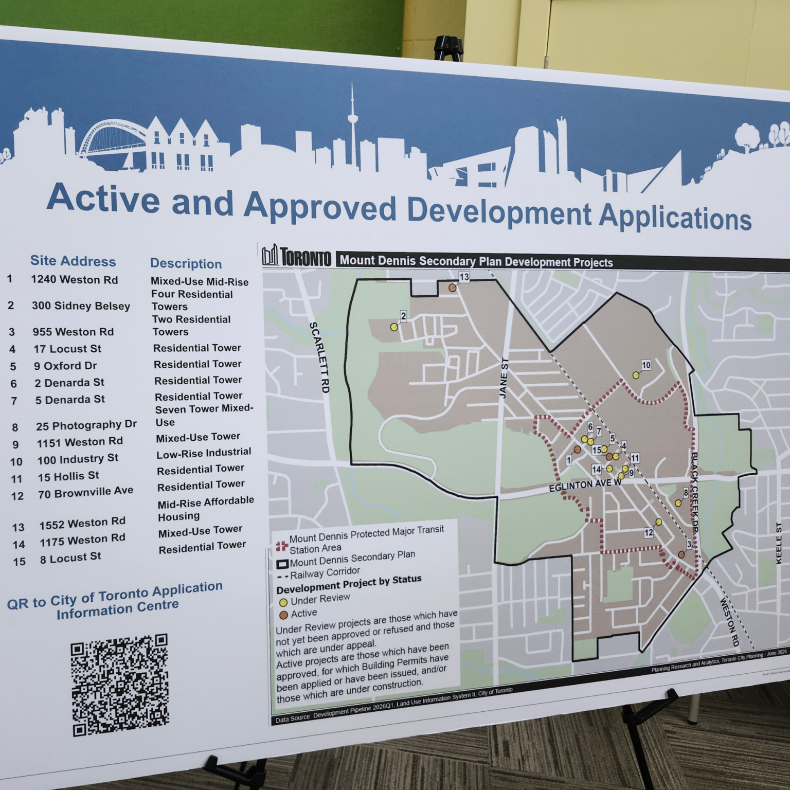
📸: Julia Lawrence/The Green Line.
The City of Toronto’s Mount Dennis Study Area used for the PMTSA is generally mapped out as, “Clouston Avenue to the north, Trethewey Drive to the northeast, the Black Creek to the east, Humber Boulevard to the southeast, Alliance Avenue to the south, Jane Street to the southwest, and the Humber River to the west.”
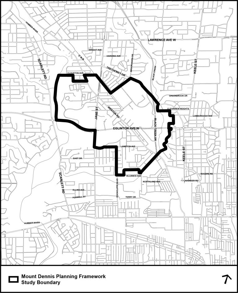
📸: City of Toronto.
What’s next?
- A public meeting will be held at the Etobicoke York Community Council on July 7 at 9:30 a.m. at the Council Chamber, Etobicoke Civic Centre/Video Conference.
- Anyone who wishes to submit comments and/or register to speak about the Mount Dennis PMTSA on July 7 should do so through this link.
- The PMTSA will then be heard at the July 29 City Council meeting.
- If approved by City Council, the PMTSA will be sent to the Ministry of Municipal Affairs and Housing (MMAH) for further review and final approval.
If residents have any further questions about the PMTSA in Mount Dennis, you can reach out directly to McNeil at rory.mcneil@toronto.ca or call at 416-394-5683.
Do you have another City of Toronto project you’d like me to keep an eye on? Send me an email at julia@thegreenline.to.
You can also keep an eye out for all things civic-related by tuning into The Green Line’s Documenters. They are Toronto residents who are trained to attend civic meetings and take notes across the city to keep you informed and the City accountable.
Fact-Check Yourself
Sources and
further reading
Don’t take our word for it — check our sources for yourself.

Join the conversation