
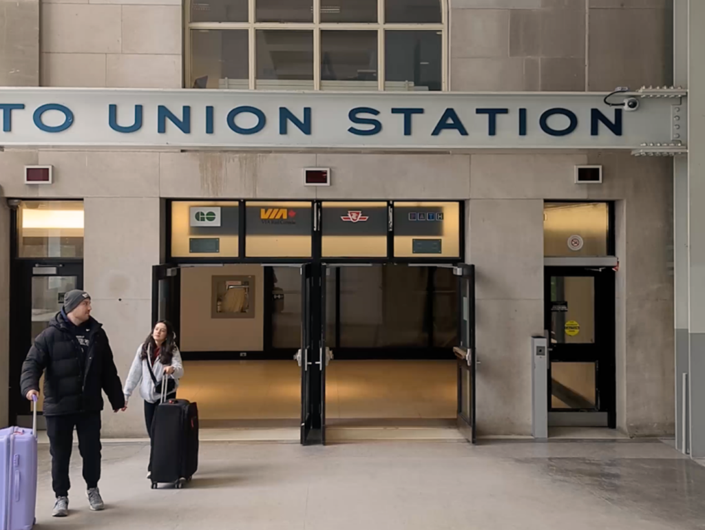

Toronto’s PATH can feel like a maze: endless possibilities, confusing signs, routes that spread below or above street levels.
After all, Toronto’s Downtown Pedestrian Walkway connects six subway stations, three major department stores, nine hotels, and some of the city’s most popular attractions. Navigating it for the first time can be stressful, but if you ask us — it’s worth exploring to avoid sidewalk stress and unpredictable weather.
So, last year, we shared three useful PATH routes in one handy guide: From the Eaton Centre to the CN tower, from Union Station to Roy Thomson Hall and from Union Station to City Hall.
BECOME A GREEN LINE MEMBER TODAY
This time around, we’re here to answer your route requests, starting with this question that landed in our inbox on Tiktok: “Would you know how to get from Union’s UP Express station to Longo’s Maple Leaf Square?”
Here we are with the video breakdown.
This video can also help you if you’re starting from the Union-Pearson Express station, VIA Rail Concourse, Union Station bus terminals or the Great Hall in general.
If you’re having a hard time situating yourself, look for signs hanging from the ceiling or above doors — they can tell you what’s the nearest major building or attraction. You can even get a rough idea of which way to go by checking out Toronto’s PATH network map, which is a downloadable PDF. This map can also show you where escalators, elevators and accessible ramps are, but you have to keep in mind that it doesn’t reflect updated availability if there’s construction or ongoing repairs.
Are there any other routes you need help navigating? Let us know by leaving a comment on our PATH videos on Instagram, Tiktok or Youtube Shorts, or by emailing hello@thegreenline.to and we’ll walk you through it in our next video.
Fact-Check Yourself
Sources and
further reading
Don’t take our word for it — check our sources for yourself.
Join the conversation