
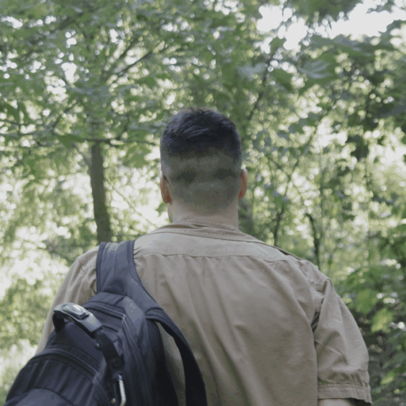


Looking to get out of the concrete jungle and into nature without leaving the city?
We got you. Our team created a map of Toronto’s trails — all accessible (to varying degrees) via the TTC or GO trains.
Our map has everything you need to know to plan your outdoor adventure, including some must-know insider tips. You’ll find information about the best scenic spot on the trail, our honest five-star rating of its amenities and accessibility by transit.
BECOME A GREEN LINE MEMBER TODAY

We also assessed the difficulty level based on the trail surface (with paved roads being the easiest) and elevation. We also chose the start point at the higher elevation so trails generally slope downward. If you’re up for a challenge, try reversing the start and end points
Fact-Check Yourself
Sources and
further reading
Don’t take our word for it — check our sources for yourself.

Join the conversation