THE GREEN LINE GUIDE TO...
Alternate cycling routes in Downtown Toronto

David Shellnutt explains the safety risks on different cycling infrastructure in the city.
 : Amartya Smaran/The Green Line.

JAMES WESTMAN
Humber journalism graduate. Existential threat tracker. Has explored every park and trail in Toronto, with a map to prove it. Believes Tommy Thompson Park is the city’s hidden gem.

ANTHONY LIPPA-HARDY
Mississauga native currently studying journalism at Toronto Metropolitan University. Loves to explore different visual mediums to tell impactful stories that need to be seen.
March 10, 2025
With files from Amartya Smaran.
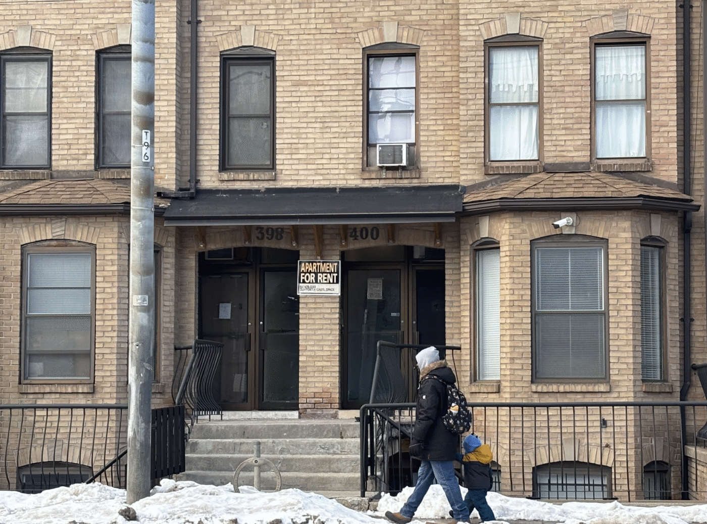
Are you wondering where you'll cycle if bike lanes get ripped out of major streets across Toronto?
Well, that's a fair concern given that our city could lose up to 25 kilometres of bike lanes due to Bill 212.
That's why we went out and mapped alternate routes that cyclists could use instead of Yonge Street, Bloor Street and University Avenue. But...that's not as easy as it sounds.
We used Google Maps paired with the Toronto Cycling Network Map to calculate what would be the fastest route that still takes you along existing cycling infrastructure. Faster routes that don’t use the cycling infrastructure certainly exist, but cycling advocates and experts point out that biking with traffic requires skill and experience — and comes with increased risk.
It's also worth noting that cycling advocates say that secondary roads are not adequate or enough to replace the three major bike lanes, and that cyclists might still choose the faster routes.
In some cases, it was impossible to find an alternate route that follows existing cycling infrastructure the entire way (segments of the route coloured red.) We chose alternate routes based on minimal stretches of biking with traffic without any cycling infrastructure. We also chose routes that include more protective infrastructure where there were multiple route options available within the cycling network. For example, dedicated bikeways and multi-use trails provide more protection than sharrows and signed routes.
In the following maps, we compare the time and distance to bike the entire stretch of bike lanes on major streets to the time and distance to bike an alternate route that travels from the same start and end point.
BLOOR STREET
From Old Mill station to Castle Frank station.
Current route with bike lanes
")
With the Bloor Avenue bike lanes intact, the cycling time and distance between Old Mill station and Castle Frank station are 41 minutes and 10.9 km according to Google Maps.
Alternate route

With the Bloor Avenue bike lanes removed, the alternate route is about 1.5 times longer — 65 minutes and 16.4 km.
YONGE STREET
From Bloor Avenue to Davisville Avenue.
Current route with bike lanes

With the Yonge Street bike lanes intact, the cycling time and distance between Bloor Avenue and Davisville Avenue are 11 minutes and 3.3 km according to Google Maps.
Alternate route east of Yonge Street

With the Yonge Street bike lanes removed, the alternate route to the east of Yonge Street is nearly three times as long in terms of time and twice as long in terms of distance — 28 minutes and 6.7 km.
Alternate route west of Yonge Street

If you need to move up on the west side of Yonge Street, the alternate route is slightly shorter than the east side alternate route: 23 minutes and 5.2 km.
UNIVERSTIY AVENUE
From University Avenue and Wellington Street West to University Avenue and College Street (Queen’s Park Station.)
Current route with bike lanes

With the University Avenue bike lanes intact, the cycling time and distance between University Avenue and Wellington Street West, and University Avenue and College Street (Queen’s Park station,) are seven minutes and 1.4 km according to Google Maps.
Alternate route

With the University Avenue bike lanes removed, the alternate route is now nearly three times as long at 18 minutes and 3.4 km.
So, alternate routes would be quite lengthier than riding along the existing bike lanes. The different types of infrastructure along the way also offer varying levels of safety for cyclists.
If you want to learn more about the risks and potential strategies to bike on these alternate routes, check out safety tips from David Shellnutt, the Biking Lawyer.
Do you want to learn more about road safety post-bike lanes? Check out our March Action Journey.
Fact-Check Yourself
Sources and
further reading
Don't take our word for it —
check our sources for yourself.